DÜDEN
Waterfalls of Antalya
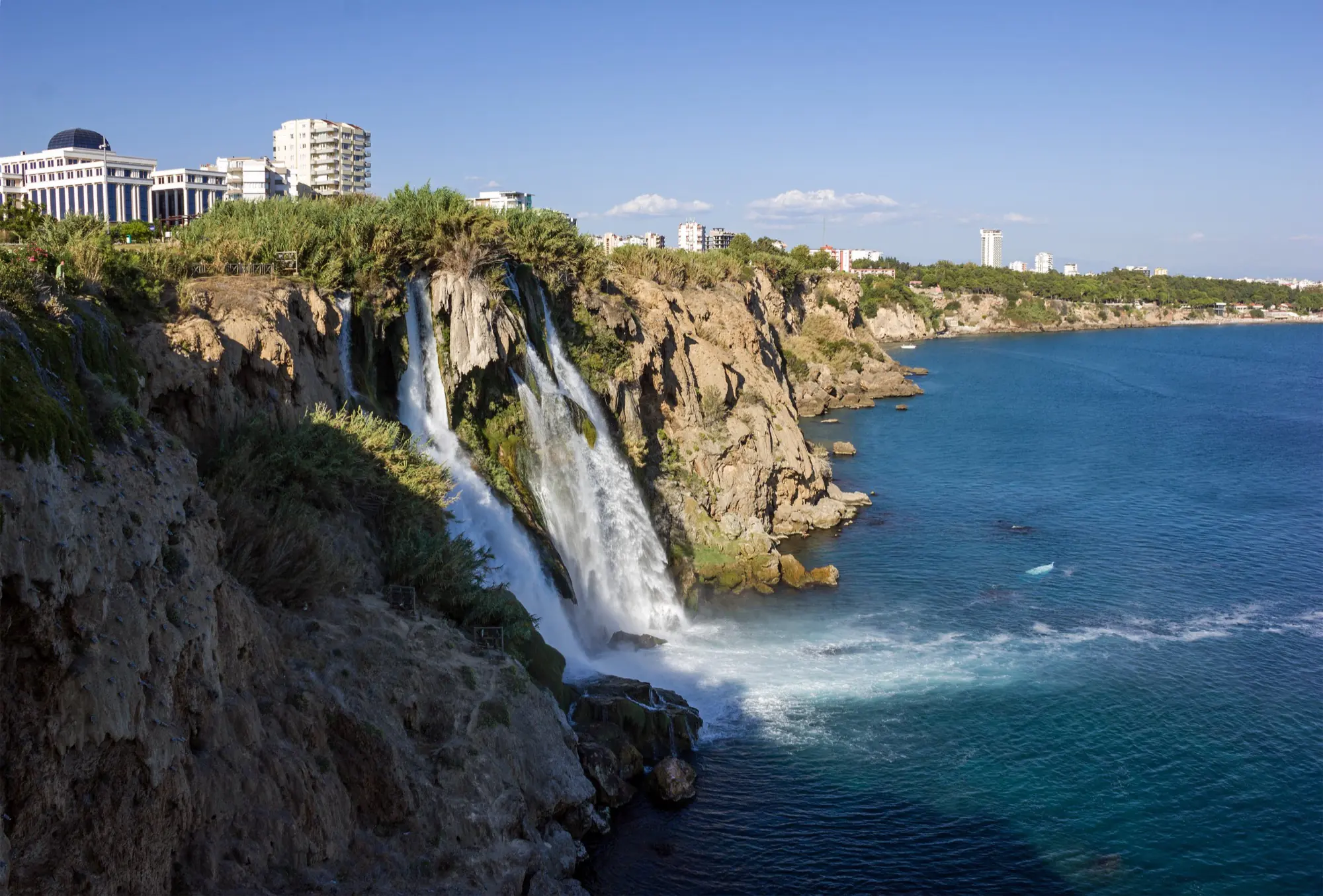
ANTALYA · TÜRKİYE
Where the water meets the Mediterranean.
From the caves behind Upper Düden to the cliffs of Lower Düden, one river ends in two completely different places.
Scroll to
explore
explore
An independent visitor guide to the Düden Waterfalls. It is not the official website of any government body.
ONE NAME.
Two different places.
“Düden Waterfall” refers to two separate places in Antalya, fed by the same river but nothing alike to visit.
See the difference →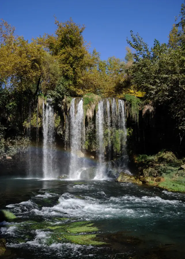
Upper Düden
In the forest, behind the water.
Cave passage
Woodland walk
Picnic and rest
Close-up water
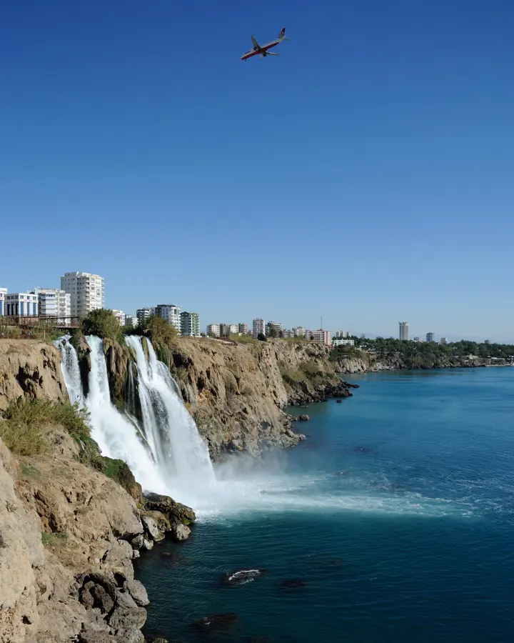
Lower Düden
Off the cliffs into the sea.
Sea view
Viewing terraces
Daytime
Seen from a boat
Which one should you visit?
Atmosphere
Type of view
Typical visit length
Photography
Suitable for families
Walking required
Distance from the centre
Best time to go
With a full day you can comfortably see both.
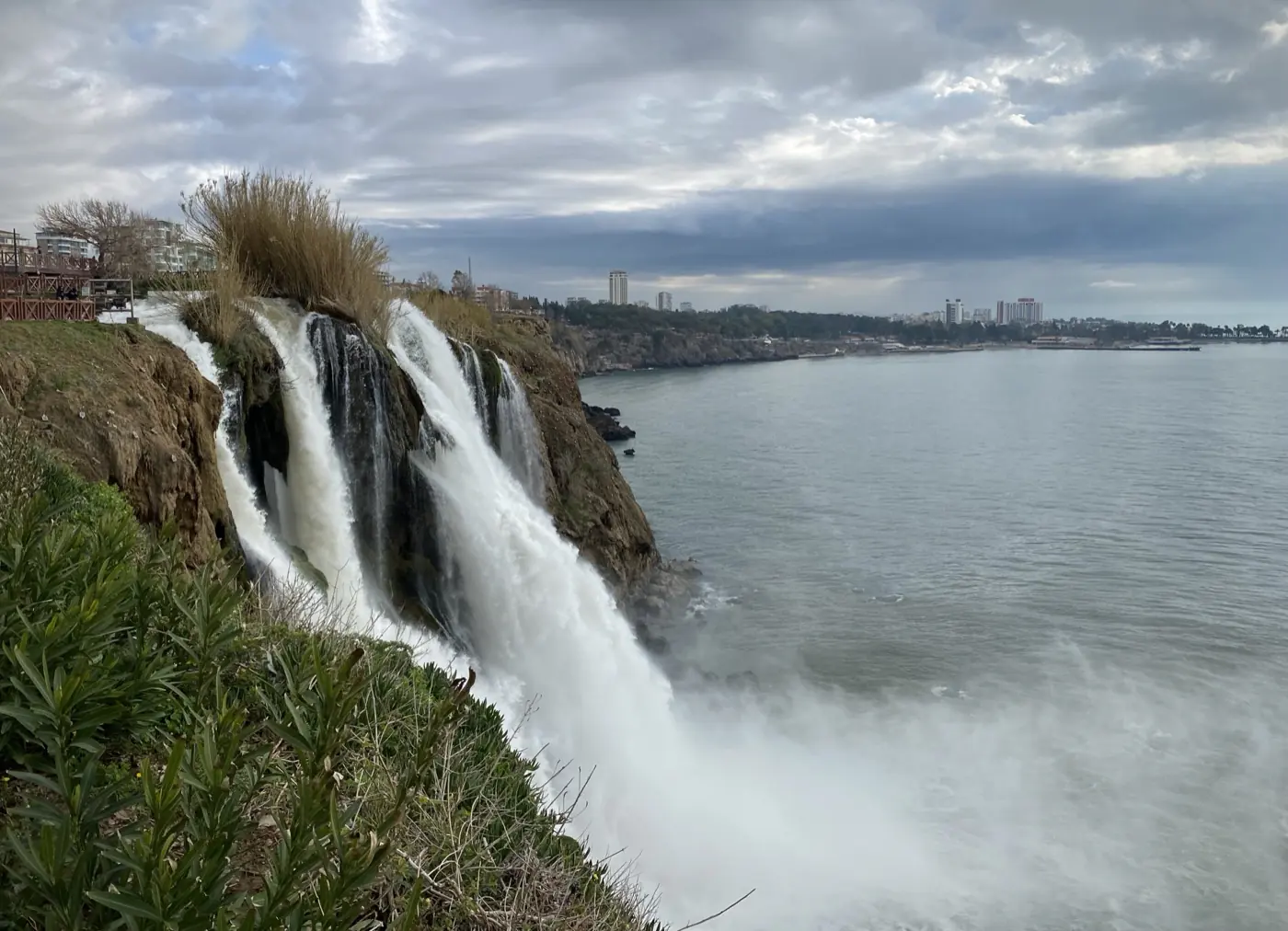
FOR THOUSANDS OF YEARS
A river with a story.
The Düden rises from underground springs, runs through rocky valleys and the edge of the city, and finally reaches the Mediterranean. It is the place where Antalya’s nature and city life end up in the same photograph.
Follow the water →Kırkgöz springs
18 km underground
Upper Düden
(Kepez)
Through the city
Lower Düden
(Lara)
40 m
MEDITERRANEAN
Before you go,
what to know.
Two waterfalls,
one Antalya route.
Use the map to plan your day.
Upper Düden
Lower Düden
Kaleiçi
Antalya Airport
Lara
Konyaaltı
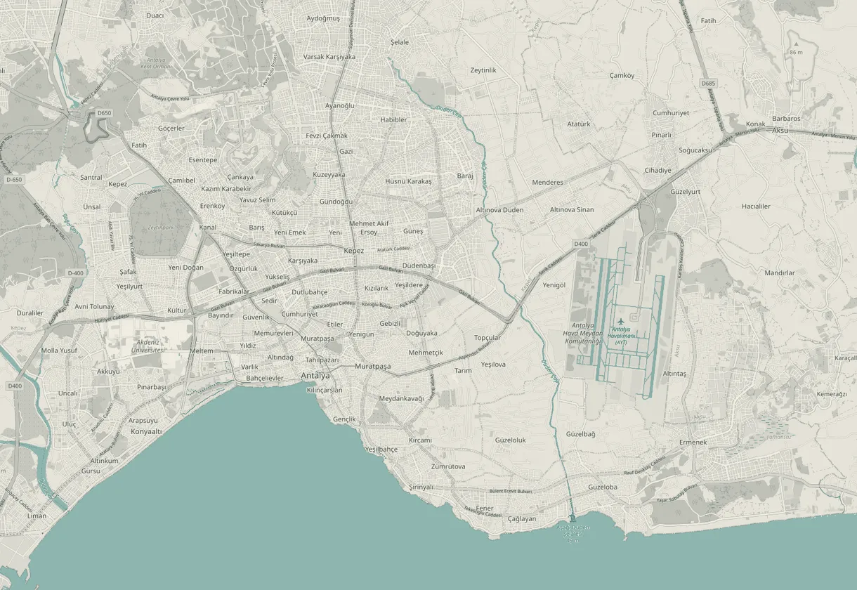
Suggested route
Build your day
Upper Düden
Kepez
Kaleiçi
Historic old town
Lower Düden
Lara cliffs
Where are the best views of Düden?
All photo spots →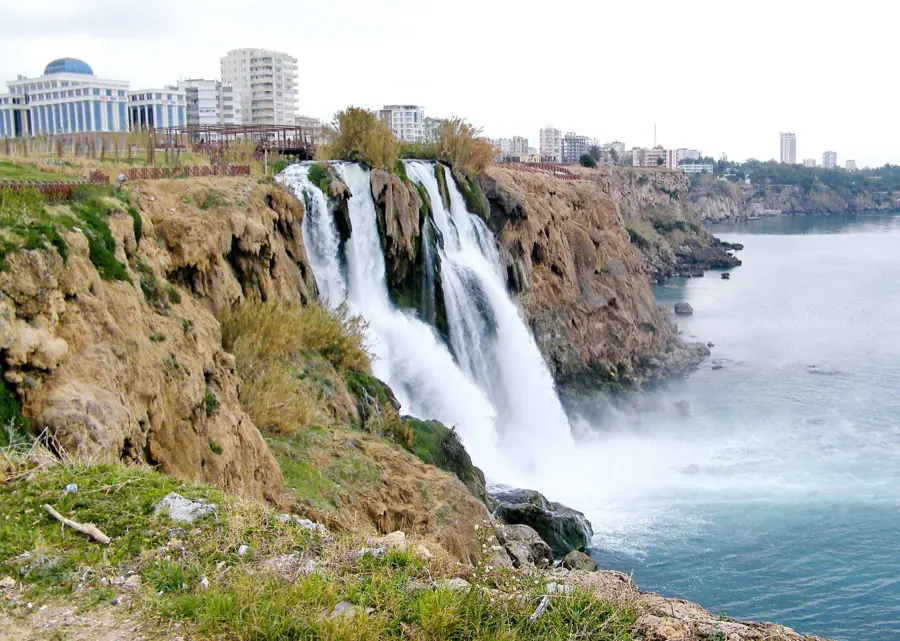 01
01 Lower Düden main terrace
AfternoonLandscape
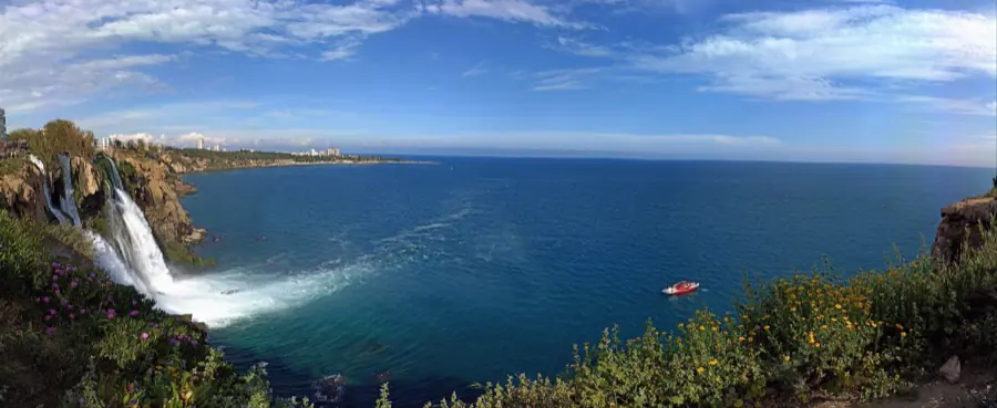 02
02 Bay panorama from the cliffs
MorningLandscape
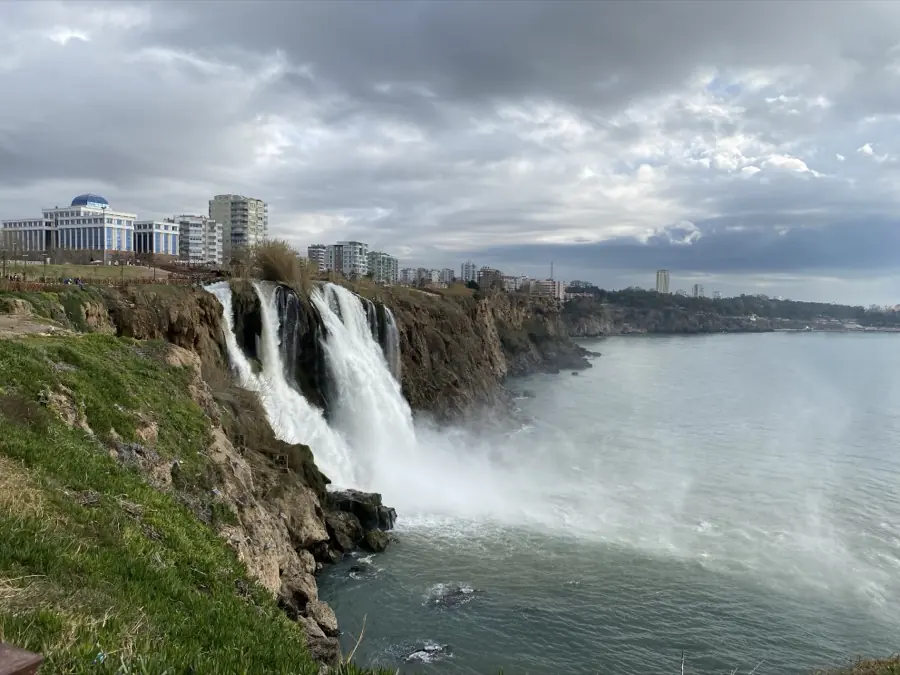 03
03 The falls with the skyline
DaytimeLandscape
 04
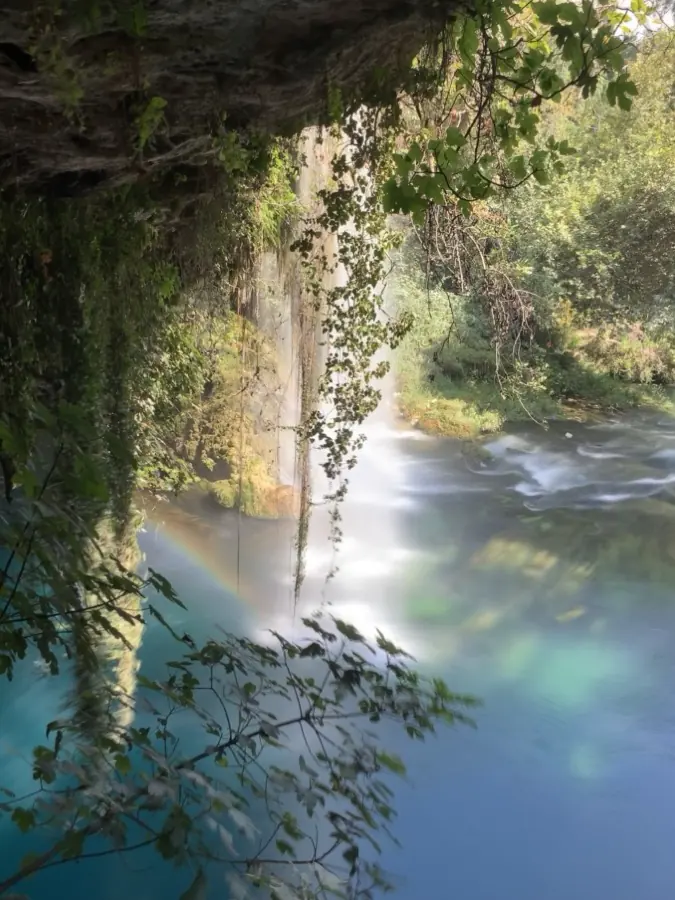
04 Cave passage at Upper Düden
MorningNature
 05
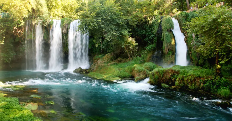
05 Wide angle among the trees
DaytimeNature
 06
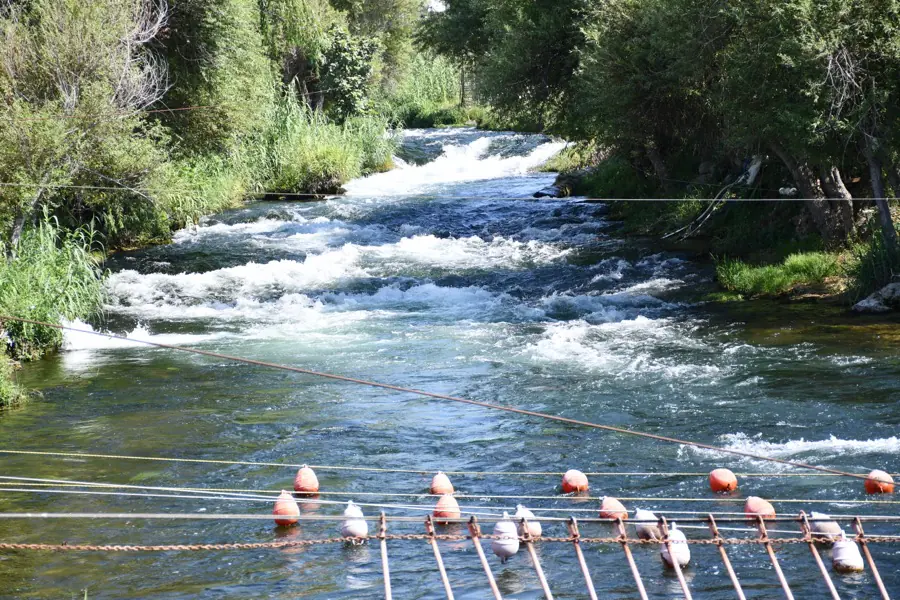
06 Green banks of the Düden
MorningNature
A day around Düden.
This is a suggested day, not a timetable. The hours are ours, not the sites’.
Send the route to your phone09:00
Upper Düden
Woodland walk and the cave passage
11:30
Antalya city centre
Explore Kaleiçi and the old streets
13:00
Kaleiçi
Lunch and the old streets
16:30
Lower Düden
Mediterranean view from the cliffs
18:30
Sunset on Lara beach
Close out the day
Keep exploring Antalya.
All guides →
Kaleiçi walking guide
10 min read
The finest waterfalls near Antalya
8 min read
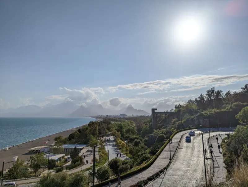
Konyaaltı beach guide
7 min read
BLN
GLOBAL
GLOBAL
Strategy
Design
Development
Design
Development
